War Rock & Gnamma Hole
The legend is that War Rock received it’s name when a war occurred between two boundary Aboriginal tribes many year ago. The Gnamma hole is usually full with winter rains. In early days, a larger Gnamma hole nearby was filled with earth to prevent stock falling in.
The Pintharuka Dam was sunk in 1936, for settlers use. The majority of the work done with a 2 ton Holt crawler tractor. The tender was 1 shilling and 8pence per cubic yard and an estimated 1800 cubic yards of earth was removed. Horses with dam scoops and also the inevitable human labour with picks and shovels were used.
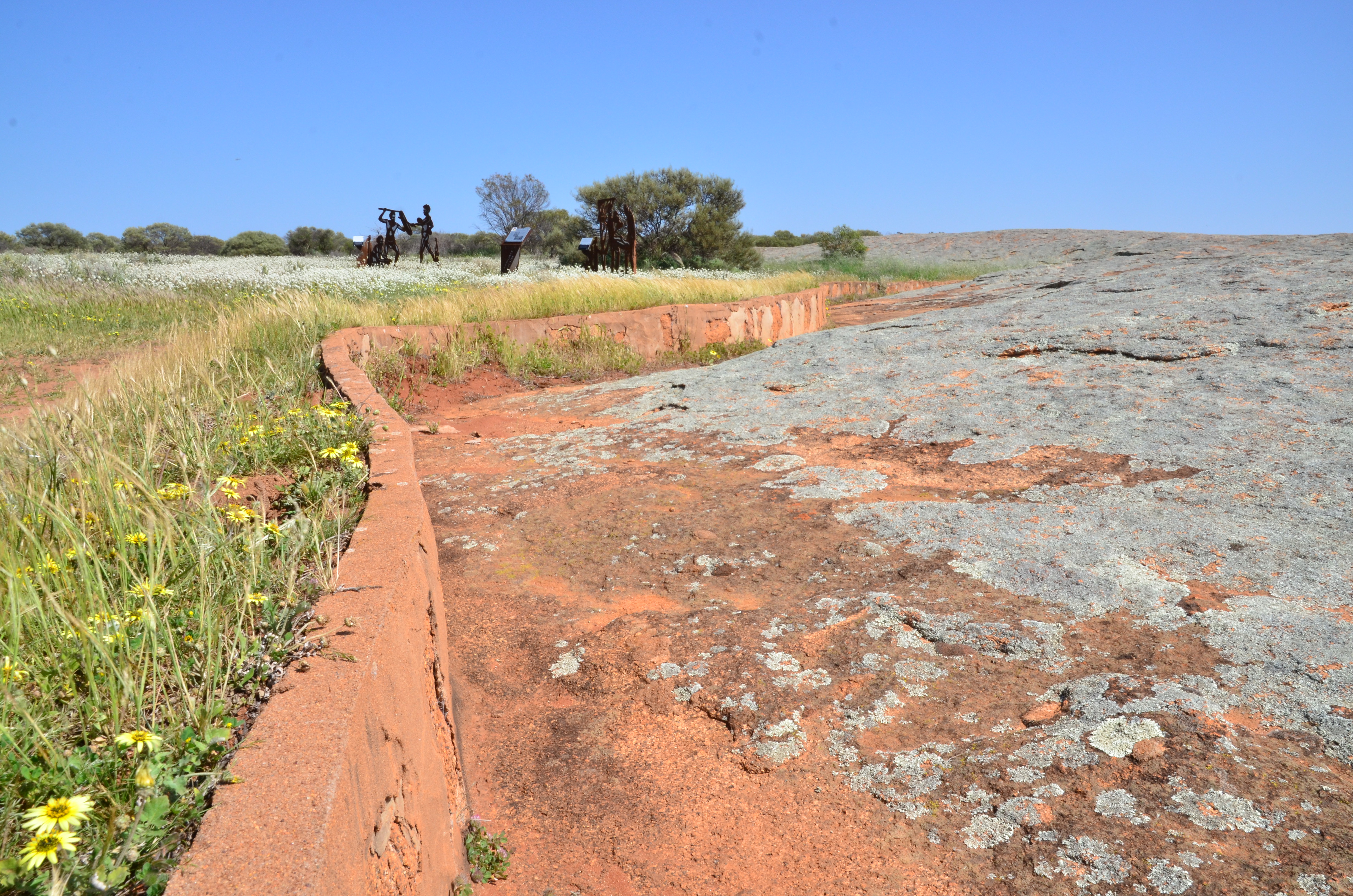
The water was guided in to the Dam by a series of rock walls and drains, built by Depression Relief Employment. Many people camped at the site, and some of the children attended the Pintharuka School. Butter, milk and eggs were purchased from nearby farmers.
The Dam became an official water supply on June 5th 1937 and was roofed in later years. The surrounding bushland hosts a variety of birds, flowers, mammals and reptiles.
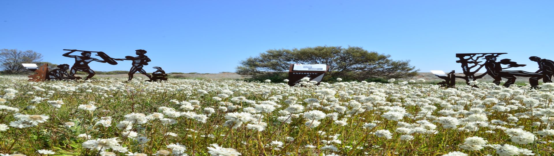
In the backdrop are the Moonagin, Karrakarook and Milhun Ranges, which change their colours when the everlastings are blooming right to their tops.